


A view of the Dhaulagiri massif from the Chimang village along the Annapurna circuit in Nepal.
Chimang lies at 2,740 meters.
Sunrise view of Annapurna south and Annapurna I at Poon Hill, Nepal.
Poon Hill lies at 3,210 meters.
A view of Dhaulagiri and Tukuche Peak from the village of Ghorepani near Poon Hiil, Nepal.
Ghorepani lies at 2,874 meters.
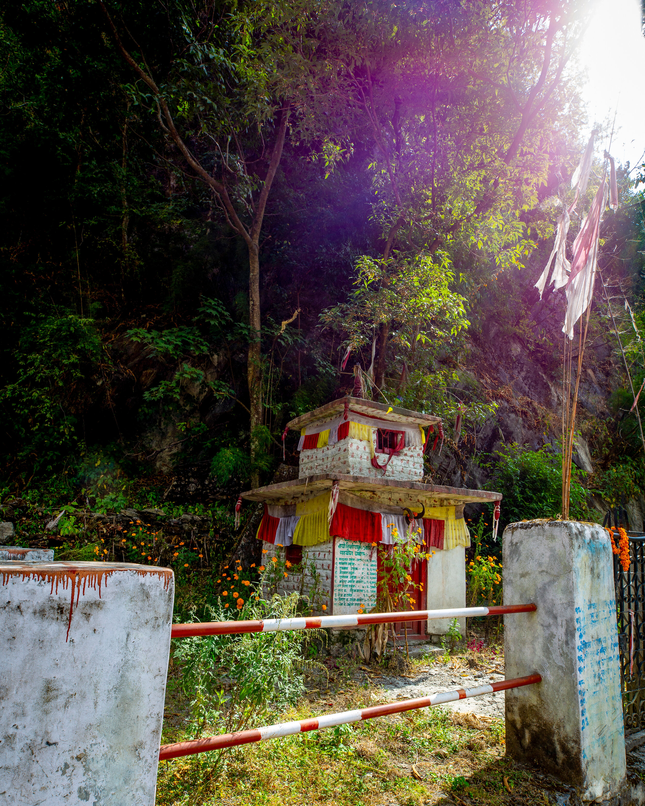
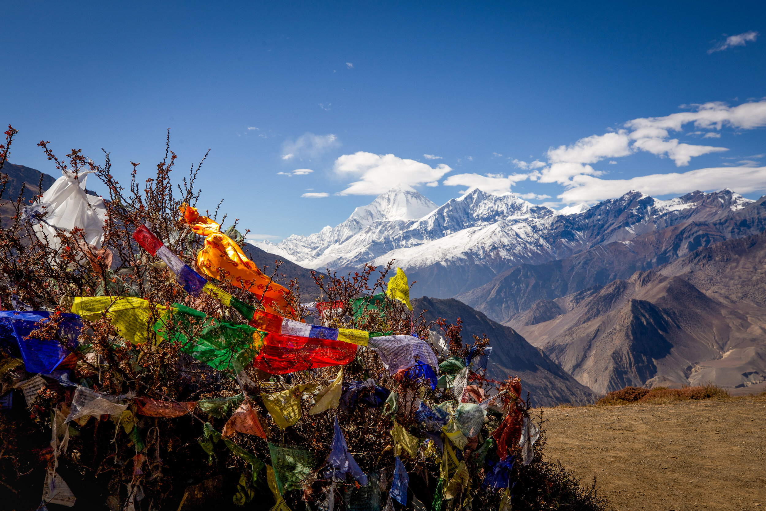
A Buddhist temple along the Annapurna Circuit trek.
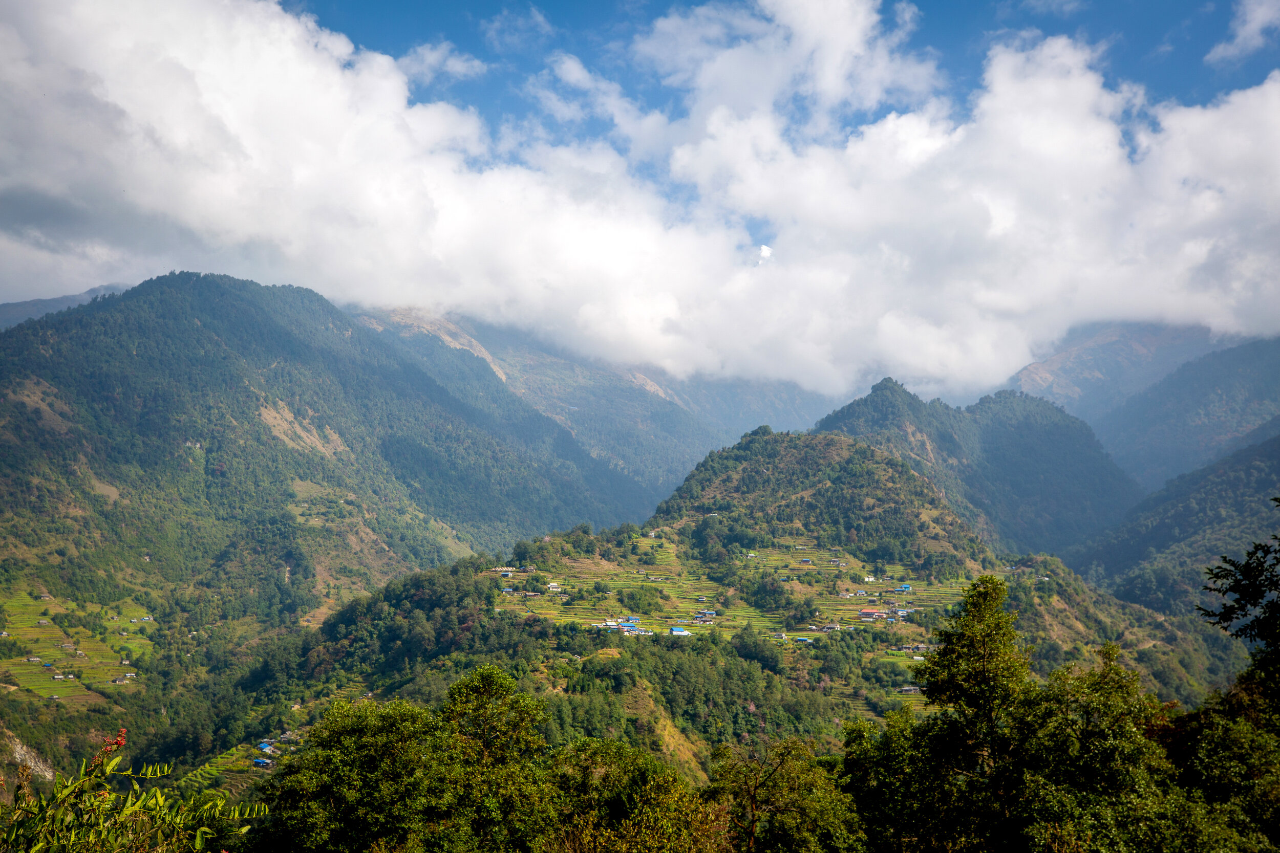
Descending from the town of Ghorepani to Tatopani, the Annapurna South himal peeks out through the clouds.
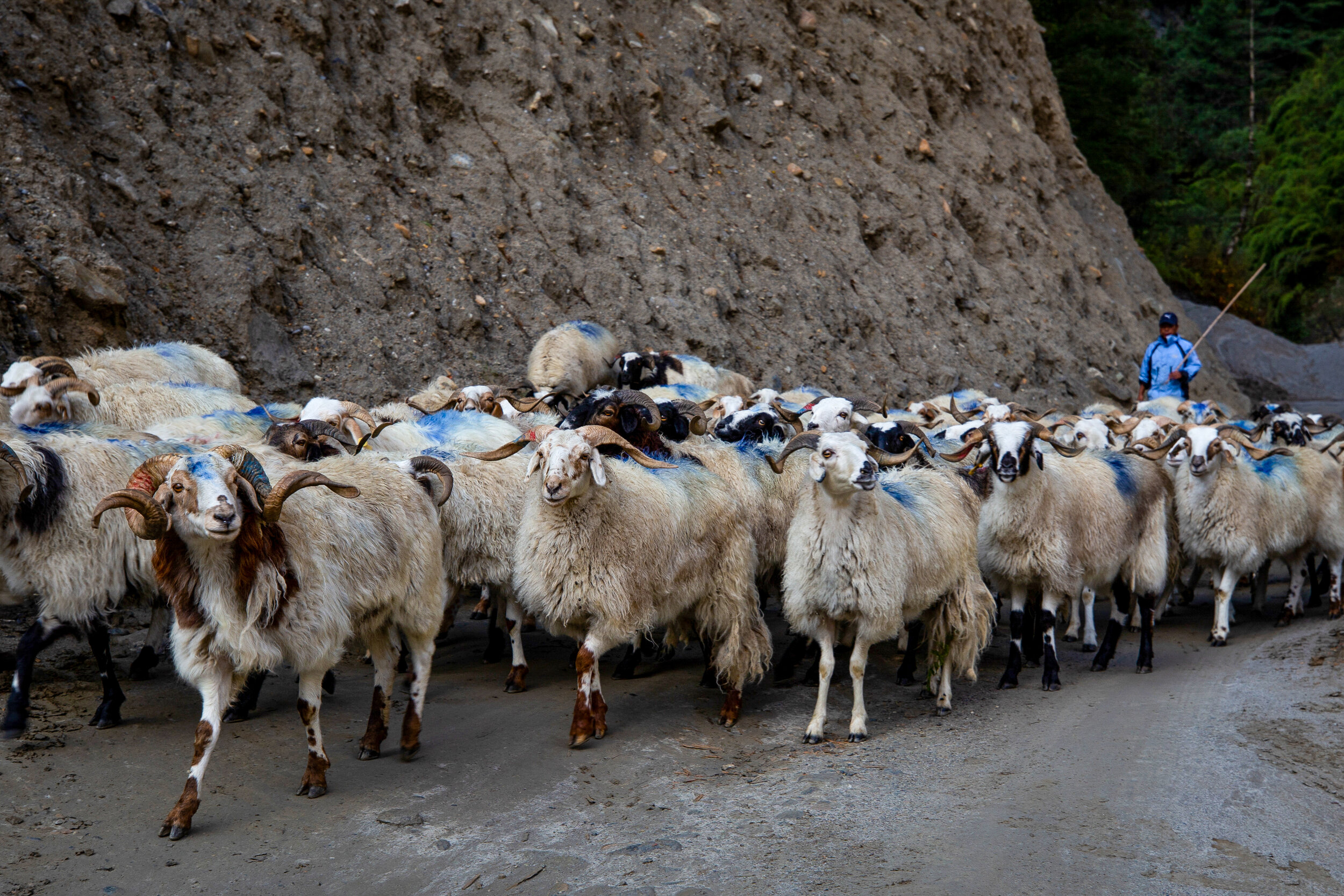
A flock of sheep are herded by a man along a dirt road in the Annapurna range.
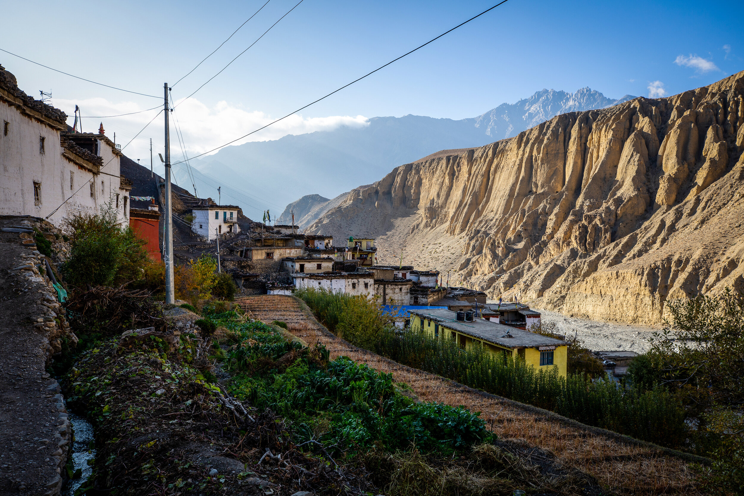
In a remote gorge beside the Panda Khola river, the Lupra village sits at a height of 2,970 meters. Lupra is the oldest surviving community of the pre-Buddhist Bön religion in Nepal and is the only village that has maintained the faith in the Mustang District.
Many villages, including Lupra, in the Mustang District are known for their orchards that grow bright red apples.
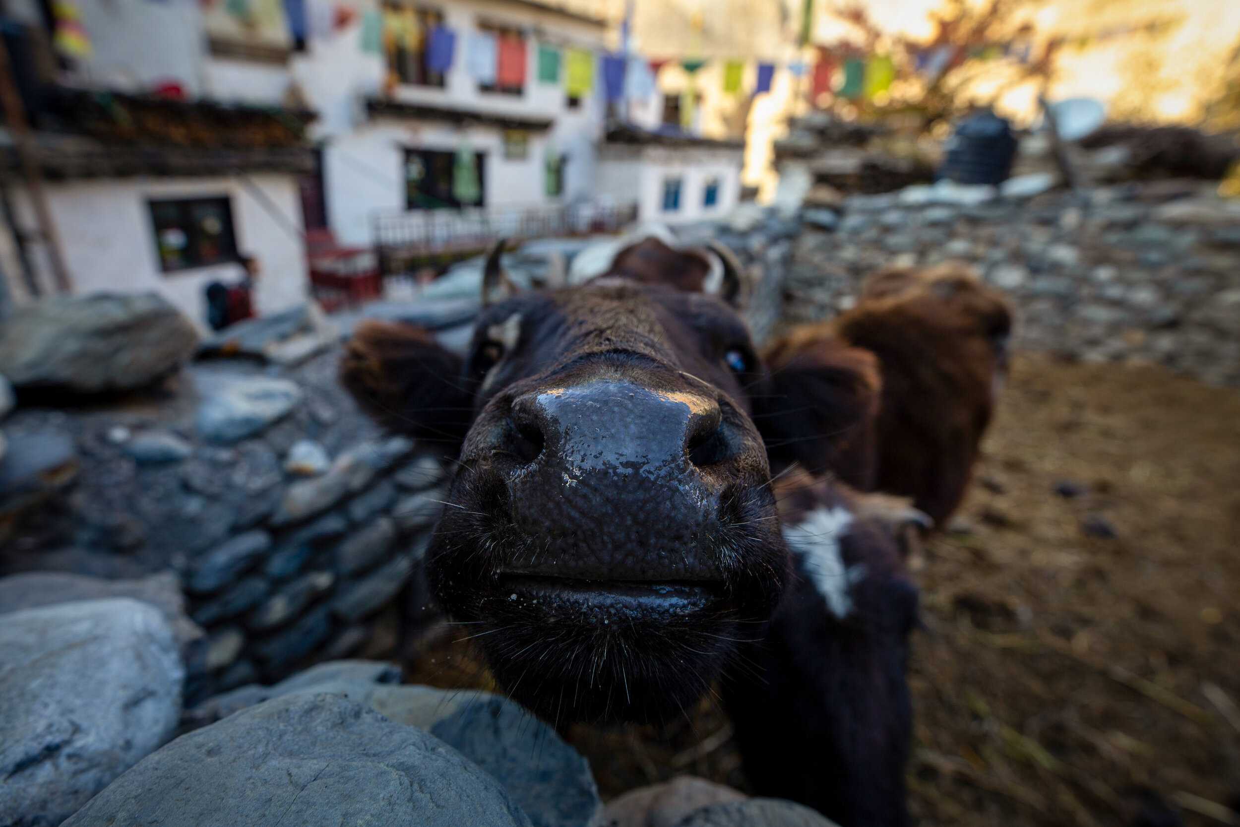
A cow in the village of Lupra.
The cow is the national animal of Nepal and is considered sacred in the Hindu religion. The slaughtering of these animals is banned in Nepal so they are used for their milk to produce butter and yogurt.
A house sits in a valley along the Annapurna Circuit trek, Nepal.
A yak grazes in the Muktinath valley just below Thorong La mountain pass in Mustang, Nepal.
Above the valley, at 3,800 meters sits one of the world's highest temples, the Vishnu temple of Muktinath.
The Muktinath temple is considered to be one of the holiest places of pilgrimage for Hindus and Buddhists, having 108 water taps sourced from the glacier waters of the Kali Gandaki river.
Above is an ancient statue of Buddha who sits on the same grounds as the temple, overlooking the valley below. At a nearby high point sits a statue of Shiva who looks upon the same valley.
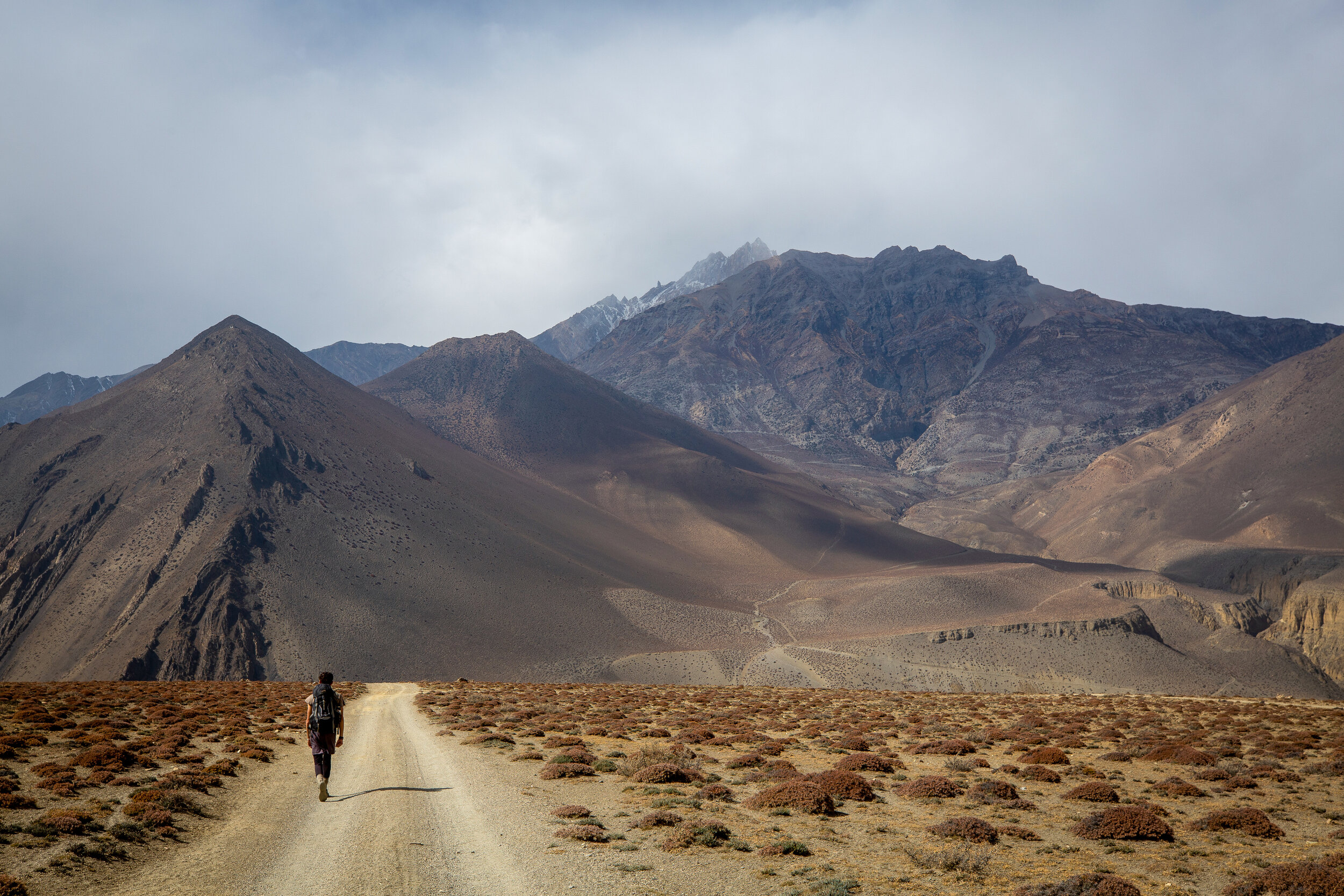
The Mustang District is distinctly different from what lies 1,000 meters below. The area resembles a high desert climate.
Nilgiri North protrudes from the desert surface.
A small village situated in a valley below the Muktinath temple grounds and its corresponding town of Ranipauwa.
A valley that goes directly into the Kali Gandaki River gorge between the towns of Ranipauwa and Kagbeni.
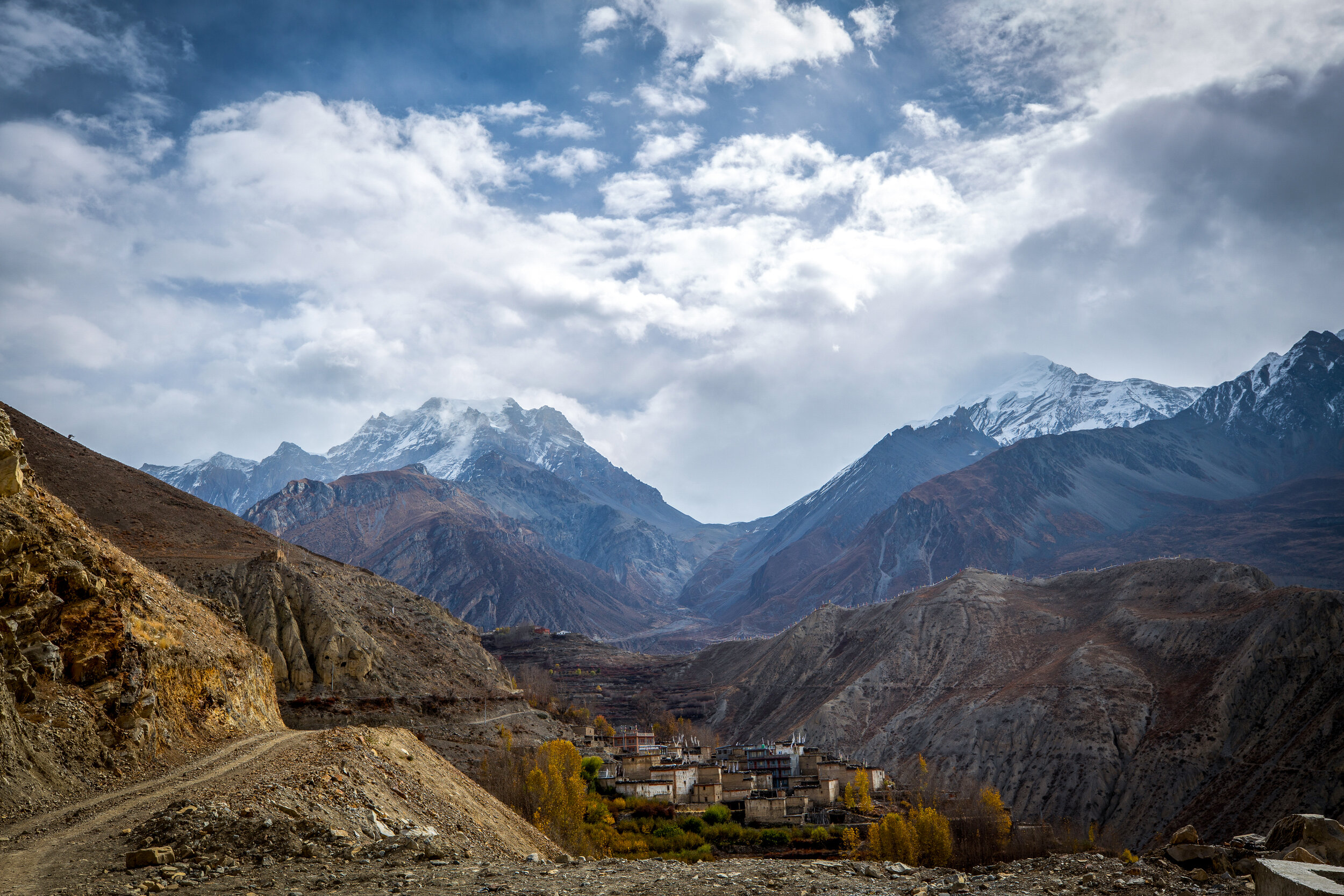
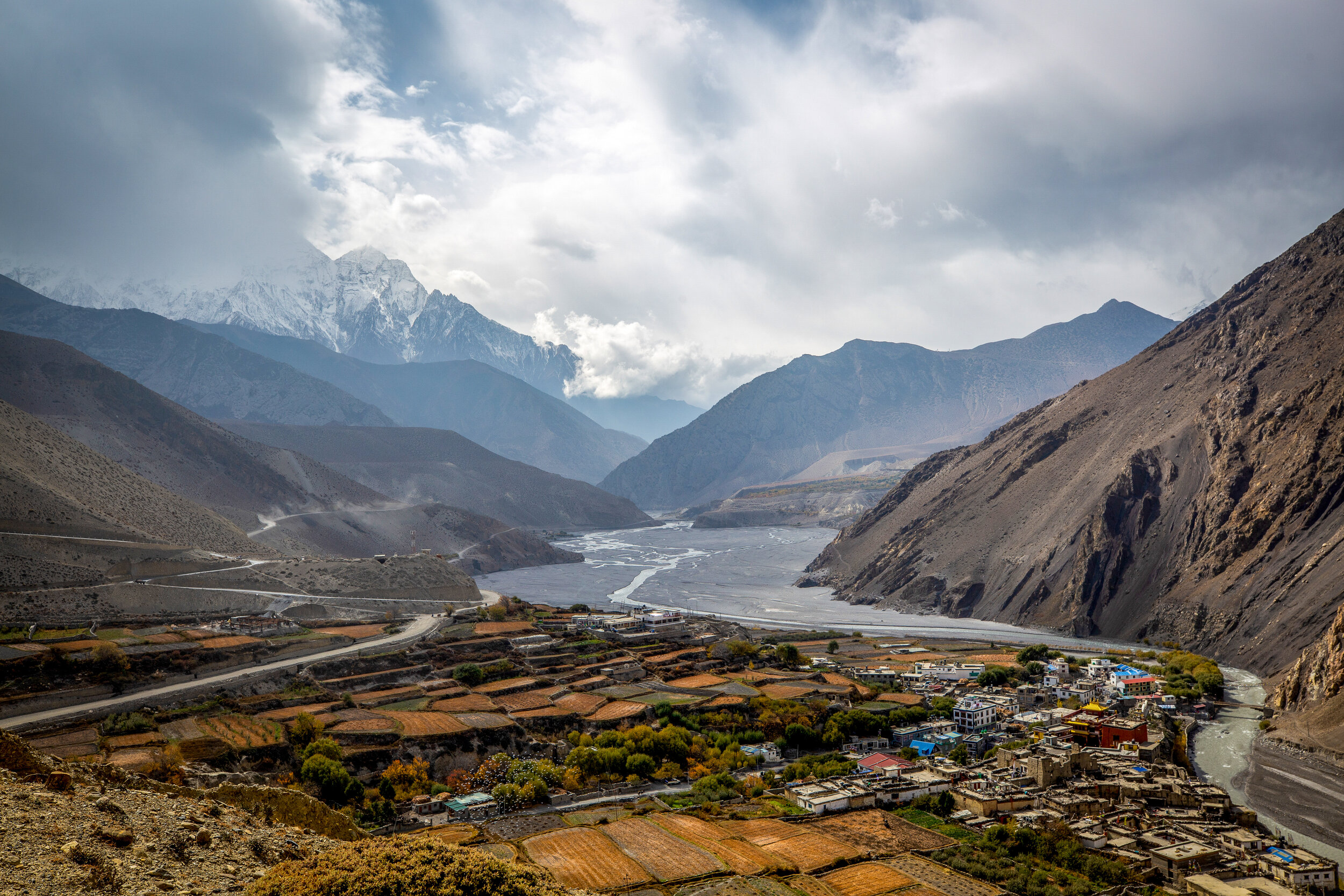
A view looking onto the town of Kagbeni, the Kali Gandaki River and the Nilgiri north peak.
Kagbeni is known for being the bridge between Lower Mustang and Upper Mustang.
A view of the Dhaulagiri and Tukuche mountain peaks from above Muktinath valley.
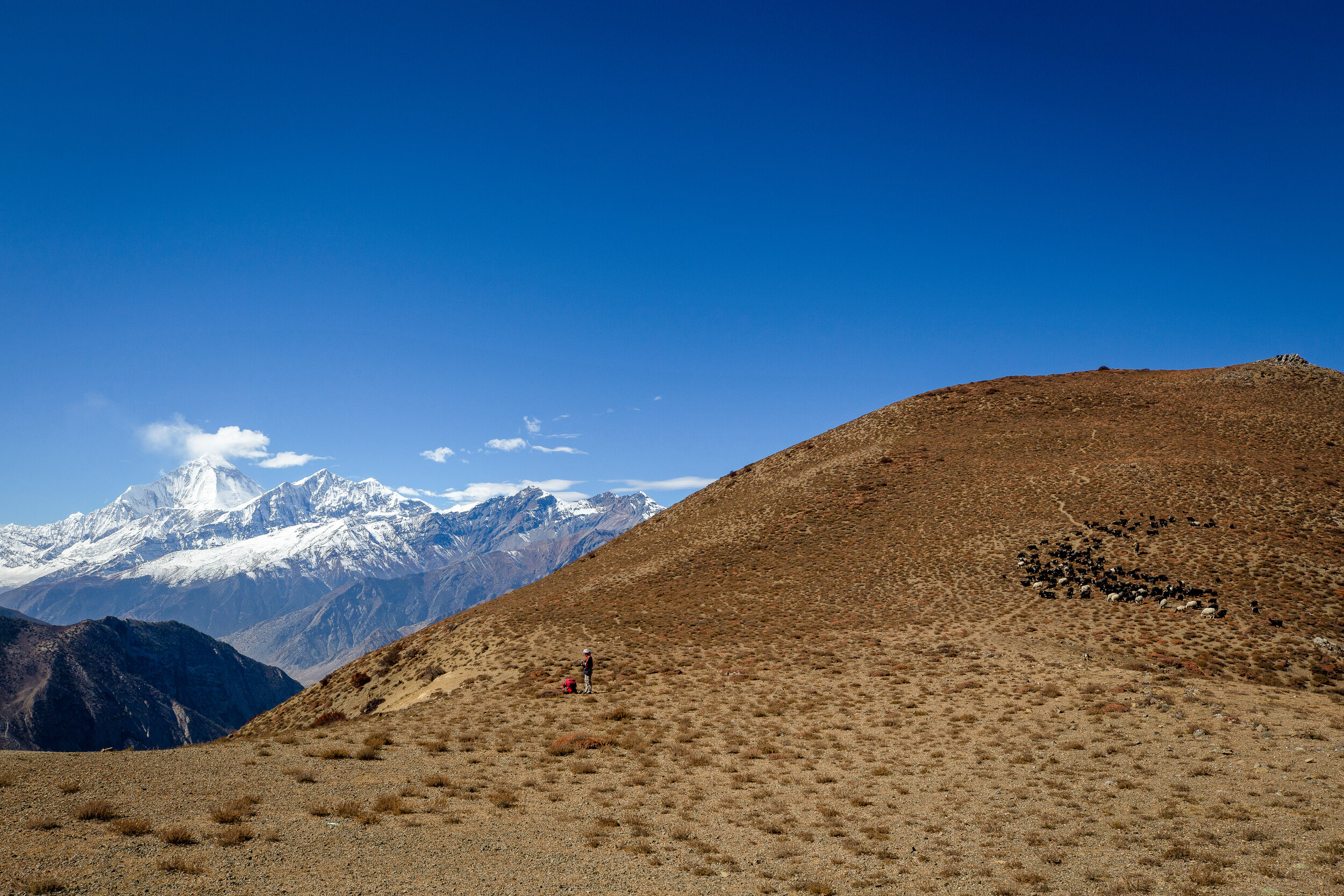
Flocks of sheep and a trekker are seen at a viewpoint overlooking the Dhaulagiri and Tukuche mountain peaks.
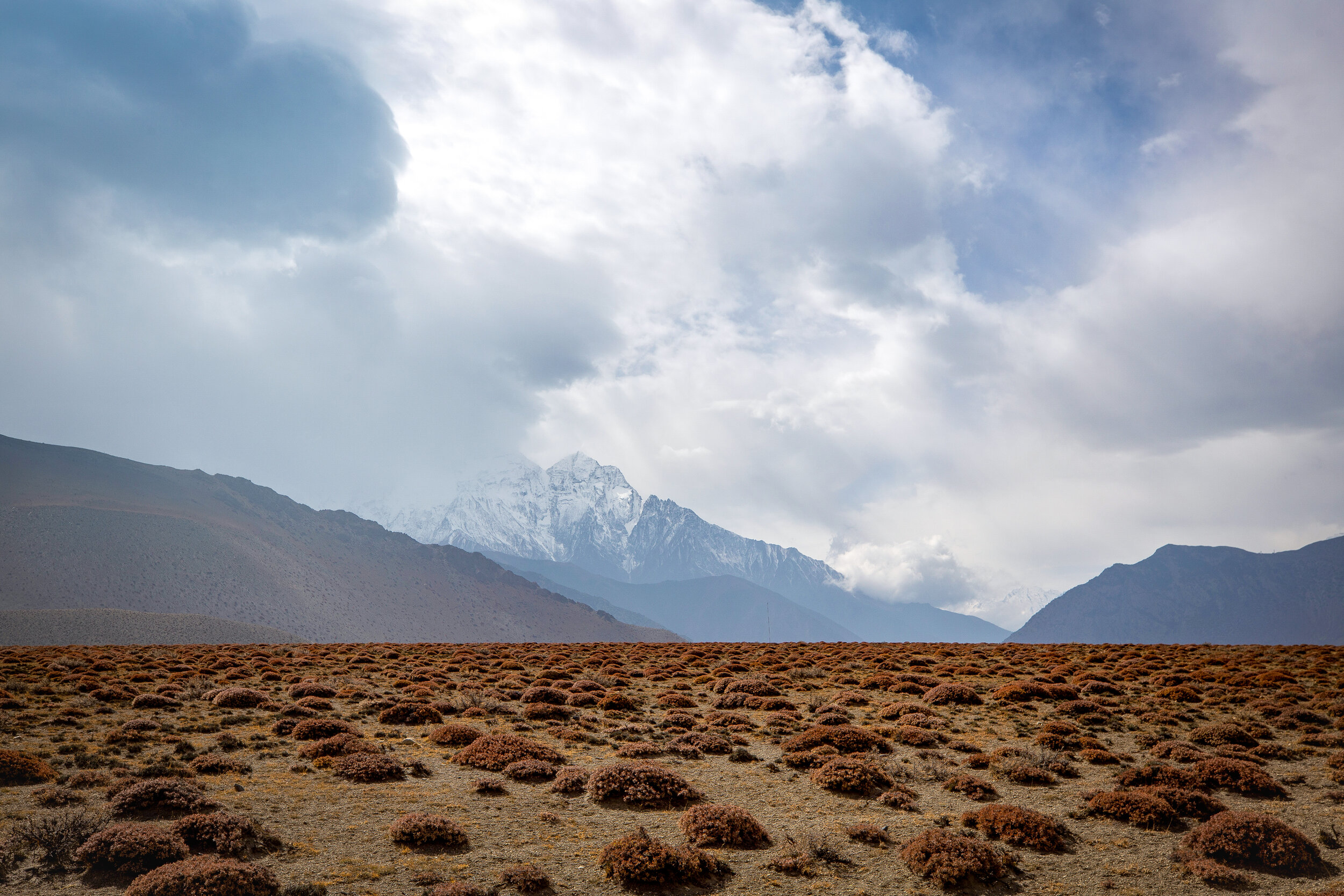
Fall colors and snowcapped himals surround the Kali Gandaki River. The river’s source is at the border of Tibet at an elevation of 6,268 meters, at the Nhubine Himal Glacier in the Mustang region of Nepal and runs between the Dhaulagiri and the Annapurna ranges.
The holy river gorge is scattered with cremation sites and above ground burial mounds.
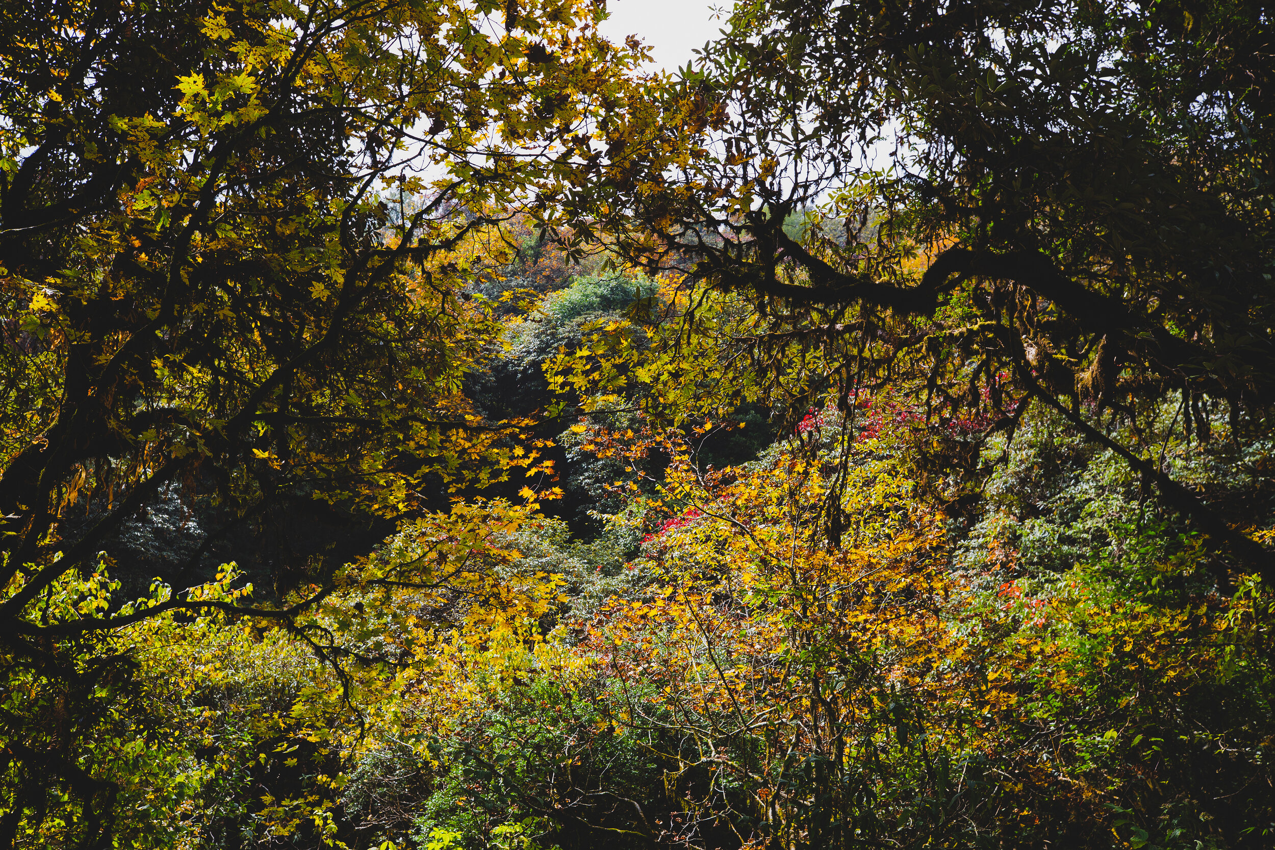
Fall colored trees line the Annapurna circuit trek.